
Residents Urged to Prepare for Isolation
Residents across New South Wales received warnings to “prepare to isolate” as heavy rain caused widespread flooding, with the NSW State Emergency Service (SES) issuing alerts for areas including Darkwood Rd and Upper Darkwood Rd in Thora, warning that the Bellinger River “may have an extended peak” around the minor flood level. Authorities urged residents to consider the impacts of isolation on family, work, and education, stating, “You may be trapped without power, water, and other essential services and it may be too dangerous for NSW SES to rescue you.”
Severe Weather Update 27 April 2025: Heavy rain and flooding continue for the NSW coast.
Video current: 12:30pm AEST 27 April 2025
Know your weather, know your risk.
For the latest forecasts and warnings go to our website https://t.co/4W35o8iFmh or the BOM Weather app. pic.twitter.com/wh3qiiFd8C
— Bureau of Meteorology, Australia (@BOM_au) April 27, 2025
Dangerous Conditions Reported Across State
The SES issued Watch and Act warnings for Willara Crossing, Wanaaring, Enngonia, Fords Bridge Bywash, and surrounding areas, urging people not to enter floodwaters as Sydney braced for up to 80mm of rain and possible thunderstorms throughout Sunday. Areas along the Mid North Coast and Hunter regions also prepared for a significant drenching as a low-pressure trough developed off the coast, according to the Bureau of Meteorology.
Areas of low pressure north of #Australia are generating cloudy skies, showers, and #thunderstorms across parts of the tropical north.
Humid conditions are also helping to fuel showers and #thunderstorms.
Latest: https://t.co/4W35o8i7wJ or the BOM Weather app. pic.twitter.com/nZ04AIvKt0
— Bureau of Meteorology, Australia (@BOM_au) April 27, 2025
Heavy Rainfall and Damaging Winds Impact Communities
Turners Flat recorded 154mm of rain in the 24 hours to 9am Sunday, followed by Bowraville with 99mm and Kempsey with 96mm, while Bureau senior meteorologist Miriam Bradbury said the Hunter Region and southern parts of the Mid North Coast were most likely to record six-hourly totals between 50-100mm. Ms Bradbury said, “That’s a lot of rain to fall in a short space of time, and is likely to lead to flash flooding in some of these areas,” highlighting the risk of rapid flooding from these intense falls.

Figure 1: Rain started in Sydney
Storms, Strong Winds, and Dangerous Surf Forecast
Severe thunderstorms threatened the Central Coast and neighbouring areas over Sunday and Monday, while coastal communities braced for damaging winds wrapping around the low-pressure system. Strong winds were forecast to produce large waves and dangerous surf conditions, with Ms Bradbury adding, “When a lot of rain falls in a short space of time, our drainage systems can’t carry it away quickly enough,” warning that overloaded systems could exacerbate flash flooding risks.

Figure 2: Severe weather warnings have been issued as flash floods could develop within hours
Increased Risk for Travellers Returning from Holidays
The Bureau warned that heavy rainfall could quickly cause dangerous driving conditions, with Ms Bradbury noting, “This is particularly of concern today, on the last day of a long weekend, when many people will be travelling home from a weekend away.” Further river rises are expected over the next few days, and additional flood warnings may be issued, although rainfall totals are forecast to ease into Monday, bringing only lighter showers across eastern NSW.
Flood Warnings and Emergency Responses Across Regions
Flood watch alerts and flood warnings covered areas including Taree, Newcastle, Gosford, Cessnock, Maitland, Putty, Wollombi, Dungog, and Kulnura, as Collombatti and Aldavilla recorded more than 100mm of rain in the past 24 hours. Parts of Queensland also experienced severe weather, with lightning strikes hospitalising two women on the Sunshine Coast as heavy rainfall overwhelmed rivers and creeks across the region.

Figure 3: Queensland is also affected, as rivers and creeks begin flooding after being lashed with rain
Heavy Rain Overwhelms Infrastructure
Ms Bradbury explained the weather system’s intensity, saying, “The low-pressure system would act as a magnet or sink for moisture and strong winds, pulling in from over the ocean and directing against the NSW coast,” as flash flooding occurred rapidly where drainage systems could not cope. Ms Bradbury continued, “This will quickly lead to some dangerous driving conditions where those heaviest falls occur,” urging people to exercise caution.
SES Responds to Hundreds of Incidents
The NSW SES responded to 456 incidents over the weekend, with most calls concentrated north of Newcastle to Port Macquarie and 67 jobs recorded in Sydney. Many incidents involved leaking roofs and fallen trees, while emergency crews also carried out six flood rescues by mid-afternoon Sunday as Newcastle recorded winds up to 90km/h around 1.30pm.
Flood Rescues and Stranded Vehicles Reported
Four vehicles and their passengers became stranded in floodwaters on Sunday, while a young family and an elderly man were isolated by rising floodwaters on Emu Creek Road at Crawford River. The Hunter Region recorded around 100mm of rain between 9am and 4pm, with widespread totals across the region between 40mm and 70mm and some locations pushing into the 80s and 90s.
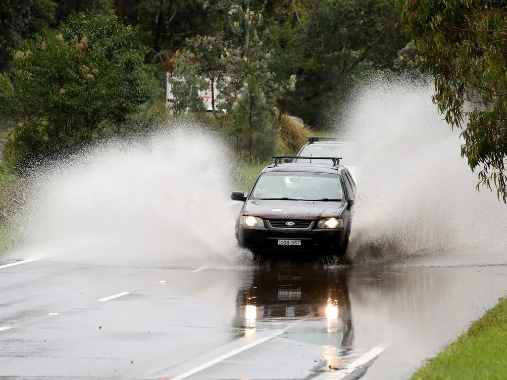
FIgure 4: Flood warnings have been issued for several areas of NSW
Minor Flooding Expected in Sydney
Minor flooding is expected along the Cooks River at Tempe Bridge today and tomorrow, as the Highest Astronomical Tide is set to peak between 7.30pm and 8pm tonight. Authorities warned drivers and residents to remain alert for rapidly rising water levels during these critical hours.
Rain Events Tied to Long Weekend Weather Systems
Ms Bradbury explained the rain events, stating, “This wet weather started at the Anzac Day long weekend,” adding, “Through Anzac Day, we saw a low-pressure trough moving through western NSW,” and further clarifying, “It was combined with a low-pressure system in the upper atmosphere that can really enhance the rain, enhance the thunderstorms happening at the surface.”
Caution Urged for Road Users
Ms Bradbury highlighted ongoing risks, saying, “There is that risk today of the heavy falls that are going to lead to flash-flooding, so water moving over roads causing dangerous driving conditions, which is really unfortunately timed when everybody is just coming home from long weekend trips,” urging all travellers to drive cautiously as conditions remain volatile.
Weather Outlook for Other Cities
Melbourne experienced calmer weather with a top of 18C and cloudy skies, while Adelaide faced possible showers with a maximum of 21C and Hobart recorded a high of 18C with chances of late showers. Perth enjoyed a warmer day with 23C, while Darwin remained hot at 33C with only a slight chance of rain.


